




A new study on Pakistan’s 2022 and 2025 floods has highlighted a major inequality in disaster recovery, finding that poorer communities suffered greater losses and faced slower and less stable recovery than wealthier areas. Researchers used satellite data on nighttime lights, vegetation and population exposure to examine how floods affected communities across the country.
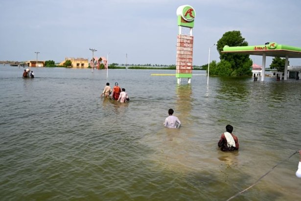
The study examined more than 85,000 grid cells and found that the 2022 floods caused severe vegetation losses, particularly in agricultural areas of Sindh and Balochistan. Economic activity, measured through nighttime light data, also declined in many flood-affected areas.
Although some areas showed signs of recovery in 2023 and 2024, the 2025 floods disrupted progress and created additional pressure on communities that had not yet fully recovered. Researchers found that repeated flooding can create cumulative vulnerability by forcing families and communities to use their limited resources repeatedly for rebuilding and recovery.
The study also found a clear relationship between wealth and recovery. Poorer areas generally experienced larger negative impacts or weaker improvements following floods. Limited access to financial services, dependence on agriculture, weaker housing and reduced access to support were identified as possible reasons for slower recovery.
Sindh was among the most severely affected regions, with high population exposure and significant vegetation and nighttime-light losses. Khyber Pakhtunkhwa also recorded continued declines in economic activity despite relatively strong vegetation recovery, highlighting the difference between natural recovery and the restoration of economic infrastructure and livelihoods.
The researchers identified several districts in the Lower Indus corridor, including Kambar Shahdad Kot, Jacobabad, Kashmore, Larkana, Dadu and Shikarpur, as areas that may require targeted recovery and resilience investment.
The study recommends stronger disaster planning, advance financing arrangements, resilient infrastructure and the use of multiple satellite indicators to identify communities that are more vulnerable to repeated flooding. Researchers also cautioned that satellite-based nighttime light data may not fully capture losses in rural and agricultural communities.